31 July, 2006
Take a look at this ariticle at the Essex County Standard website. In it, Patrick Denney describes how some recently published historical maps help reveal the extent of change in Colchester following the Napoleonic Wars.
30 July, 2006
Another uncertain future? At East Bridge

Go down East Hill to the bridge and look to your right, and just on the riverside, either side of the cycle path, you'll see the remains of Doe's Mill, a complex of abandoned, decaying, increasingly vandalised buildings in a charming setting. Just recently, fences have been erected around them. Are these soon to be demolished, too? See more pics. For location, see map, waypoint 6.
Demolition at Paxman factory

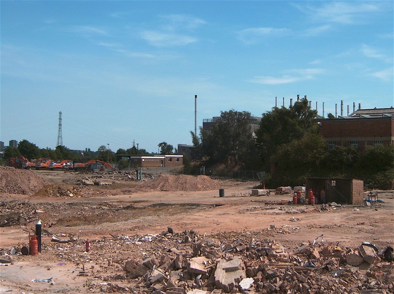
Demolition's the thing at the moment: acres are being cleared around the old Paxman factory to the east of town. See more pics.
12 July, 2006
Brook Street demolition

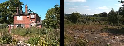
Soon after taking these pictures at the top of Brook Street, the stretch of derelict houses (including the property pictured, left), between the railway and Barrack Street, were demolished. The trees near the street and the old yard and wooden buildings (just behind the camera repair shop) have gone, too. Note the view towards the river! This site is very special, so let's presume something special is to be created there. See more pics. For location, see map, waypoint 1.
Have your say on the Draft Master Plan
for the Hythe

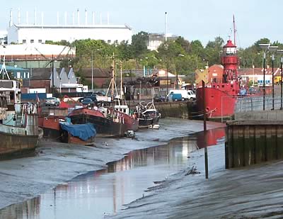
Have just been in to the East Colchester Regeneration Office on Hythe Quay to view the council's plans for the regeneration of King Edward Quay and Haven Road. It's well-presented and the staff are are very willing to explain things further. You get the opportunity to give your views in a questionnaire. It's worth a visit and it's on until 22 July 2006. Also at the Central Library in town, and a few other locations.


